
Hiking Route - Le sommet de Razis - 6
Contact
Front de neige D1
A gauche du télépulsé
05600
Risoul
- Spoken language(s) :
- French
Presentation
The summit of Risoul and a breathtaking panorama
At an elevation of 2,575 meters, the Sommet de Razis is the highest point in the Risoul hiking area.
At an elevation of 2,575 meters, the Sommet de Razis is the highest point in the Risoul hiking area.
This challenging route is designed for hikers seeking an authentic mountain experience.
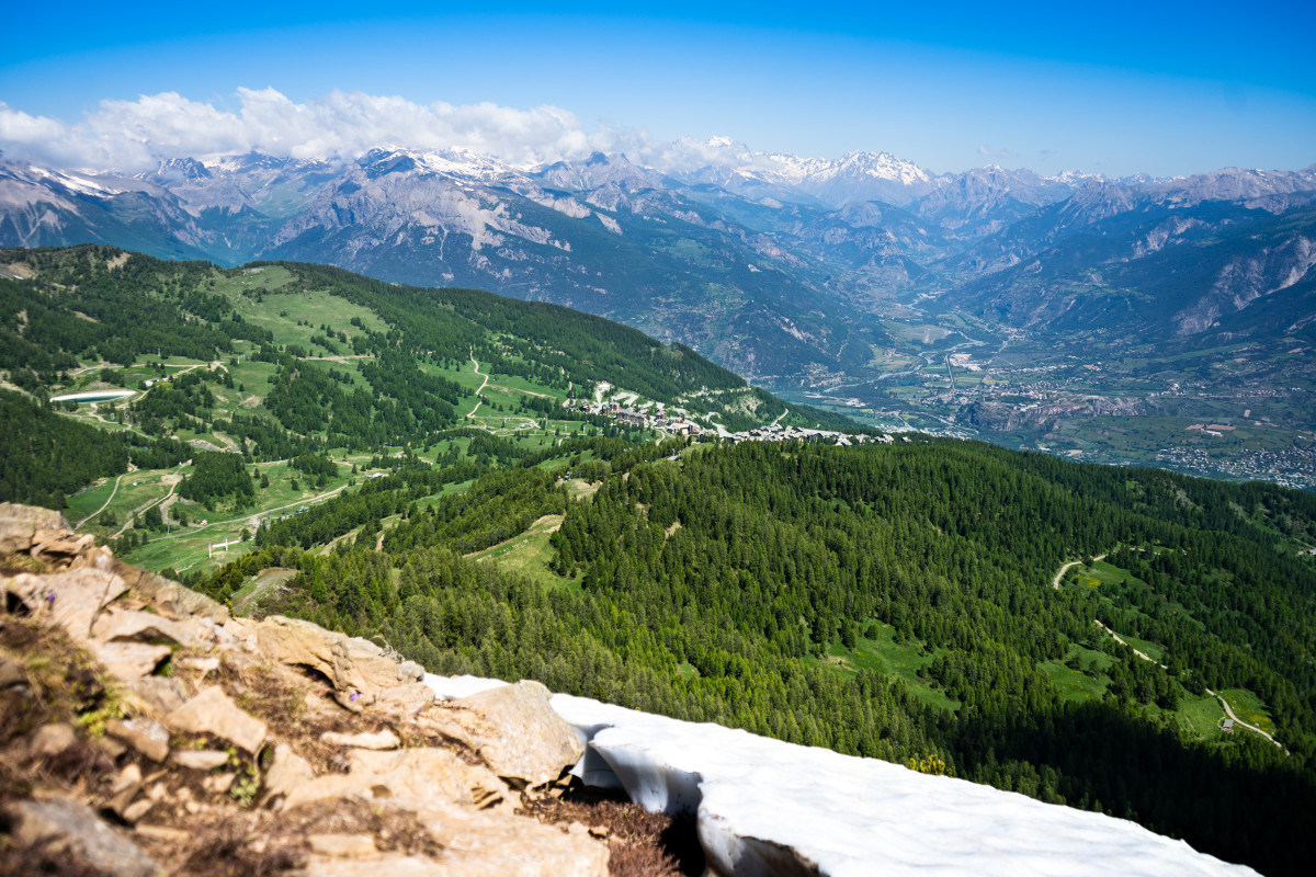
The ascent alternates between forest trails, more technical paths, and steeper sections that gradually lead you up to the high ridges. As the elevation increases, the scenery becomes increasingly spectacular, offering a succession of panoramic views of the valleys, alpine meadows, and peaks of the Southern Alps.
Reaching the summit is well worth the effort. From this natural lookout point, the view takes in Risoul, Vars, the Durance Valley, and the many mountain ranges that make up the horizon. On a clear day, the panorama is simply exceptional.
A challenging hike, reserved for well-prepared hikers, that will undoubtedly remain one of the most beautiful memories of your stay in Risoul.
Highlights
- Risoul’s highest point
- Exceptional panorama at 2,575 m
- Challenging and varied route
- Views of the Ecrins Massif and the Durance Valley
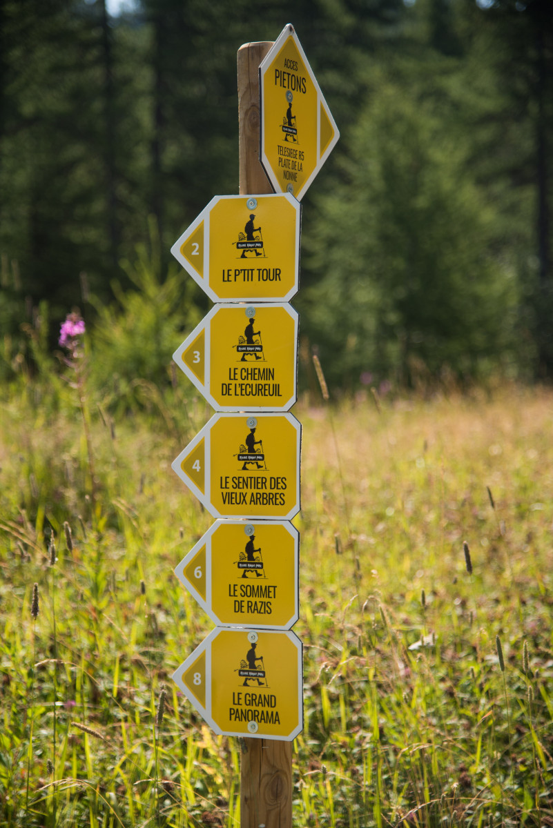
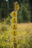
Topo Guide: Start at D1! Begin by walking along a forest road, then follow the Route du Mélèzet, which connects Risoul to Vars. When you see signpost No. 6, turn right and begin the ascent. This route is designed to be challenging; you’ll reach an elevation of 2,571 m, the highest point in Risoul. It’s a varied and technical trail that alternates between steep slopes and forest trails. Once at the summit, you’ll be treated to a superb panoramic view. A bird’s-eye view of Risoul, Vars, and the entire Durance Valley.
The descent follows the same route, or, if you prefer, you can take the R5-La Plate de la Nonne chairlift!
The ascent alternates between forest trails, more technical paths, and steeper sections that gradually lead you up to the high ridges. As the elevation increases, the scenery becomes increasingly spectacular, offering a succession of panoramic views of the valleys, alpine meadows, and peaks of the Southern Alps.
Reaching the summit is well worth the effort. From this natural lookout point, the view takes in Risoul, Vars, the Durance Valley, and the many mountain ranges that make up the horizon. On a clear day, the panorama is simply exceptional.
A challenging hike, reserved for well-prepared hikers, that will undoubtedly remain one of the most beautiful memories of your stay in Risoul.
Highlights
- Risoul’s highest point
- Exceptional panorama at 2,575 m
- Challenging and varied route
- Views of the Ecrins Massif and the Durance Valley
Topo Guide: Start at D1! Begin by walking along a forest road, then follow the Route du Mélèzet, which connects Risoul to Vars. When you see signpost No. 6, turn right and begin the ascent. This route is designed to be challenging; you’ll reach an elevation of 2,571 m, the highest point in Risoul. It’s a varied and technical trail that alternates between steep slopes and forest trails. Once at the summit, you’ll be treated to a superb panoramic view. A bird’s-eye view of Risoul, Vars, and the entire Durance Valley.
The descent follows the same route, or, if you prefer, you can take the R5-La Plate de la Nonne chairlift!
General
- Route :
- Route 2100
- Distance (km) 13
- Route Aller / Retour
- Elevation (m) 721
- Daily duration (minutes) 330
- Route 721
- Route 2270
- Levels of sporting experience :


Destination
Itinéraire de randonnée - Le sommet de Razis - 6
Front de neige D1
A gauche du télépulsé
05600
Risoul
GPS coordinates
Latitude : 44.620696
Longitude : 6.633074